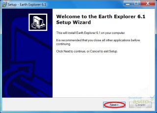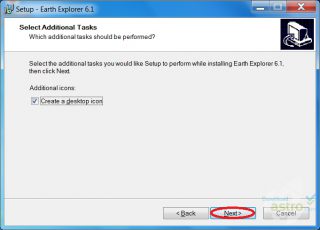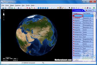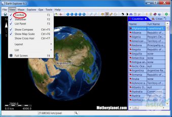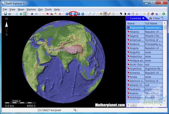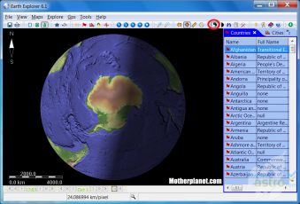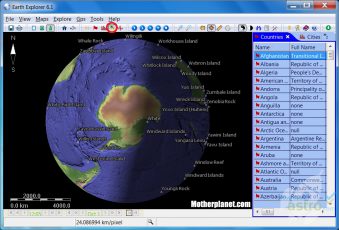
Almost every landmark that occurs on a relief map can be produced with this digital map software program. Earth Explorer is based on GPS technology images are defined and go from countries to islands to cities, earthquakes, rivers and lakes, all this in 3D view. You can add paths, marks and GPS tracks.
Digitalna mapa